
MEDIA
Our Research in the Media
Campus Tree Mapping & Arboretum Accreditation
Mapping the Forest – Wake Forest News
Integrating drone technology, 300 million LiDAR data points, and ground validation, this initiative mapped over 1,000 individual trees across Wake Forest University’s 90-acre campus. The comprehensive digital inventory cataloged more than 135 species to directly support the university’s Level II Arboretum accreditation and urban forestry management.

Wake Forest University Campus
Level II Arboretum

Experiential Learning
Campus as a Living Laboratory
Champion of Change
Winner
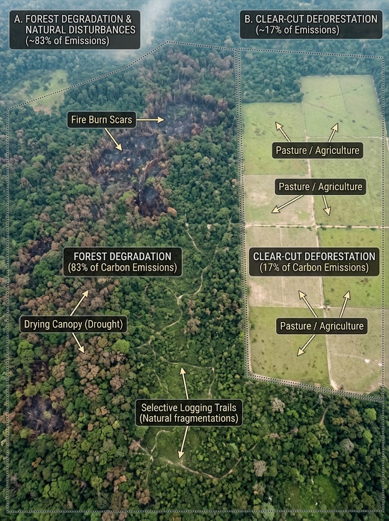
Deforestation harms climate less than other types of Amazon degradation, study finds
Reuters
A study published in PNAS using airborne laser scanning revealed that forest degradation and natural disturbances account for 83% of Amazon carbon emissions, while clear-cut deforestation contributes only 17%. The findings highlight that climate policies focusing primarily on curbing clear-cut deforestation overlook the main driver of carbon loss in the rainforest.
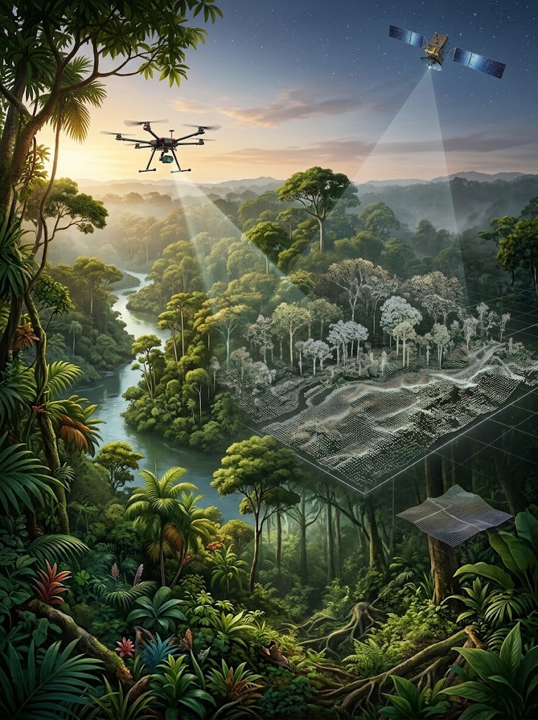
The Amazon is relinquishing its carbon – for a surprising reason
Nature
Leveraging cutting-edge satellite remote sensing, this study quantifies the covert carbon emissions caused by ongoing forest degradation across tropical rainforests. By revealing that selective logging, edge effects, and fire damage drive substantial biomass loss without total canopy clearing, the research provides essential data to modernize global carbon accounting and forest conservation policies.
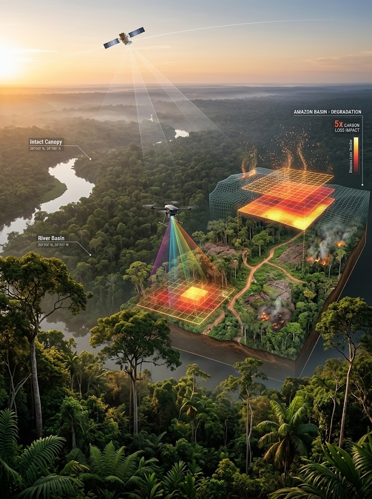
Forest degradation releases 5 times more Amazon carbon than deforestation: Study
Mongabay
Groundbreaking satellite analysis revealed that selective logging, fire, and edge effects release up to five times more carbon from the Amazon than clear-cut deforestation. These findings redefine carbon accounting models across the Amazon Arc of Deforestation, emphasizing the urgent need to protect partially degraded standing forests.
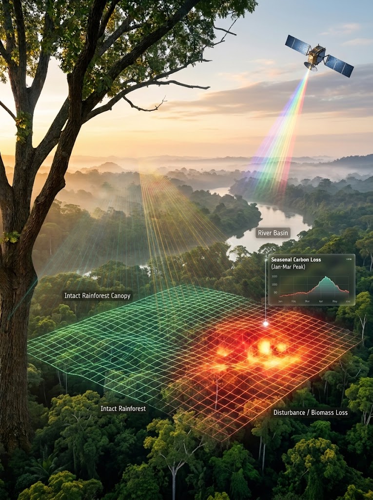
Remote sensing reveals carbon losses in Africa’s rainforests
European Space Agency Climate Office
Advanced satellite radar and optical imagery were leveraged to establish an automated, near-real-time alert system for carbon losses across Africa’s cloud-covered tropical forests. By identifying spatial and temporal degradation hotspots, the research enables governments and conservationists to respond swiftly to hidden forest disturbances.
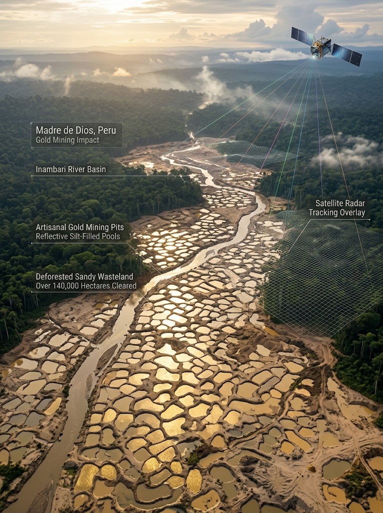
Glittering image by NASA shines light on land destroyed by gold mining
New York Post
High-altitude NASA satellite imagery revealed the alarming scale of illegal gold mining in Peru’s Amazon, where thousands of water-filled prospecting pits reflect sunlight like liquid gold. The visualization highlights extensive deforestation and landscape fragmentation that stripped over 140,000 hectares of pristine rainforest in the Inambari River basin.
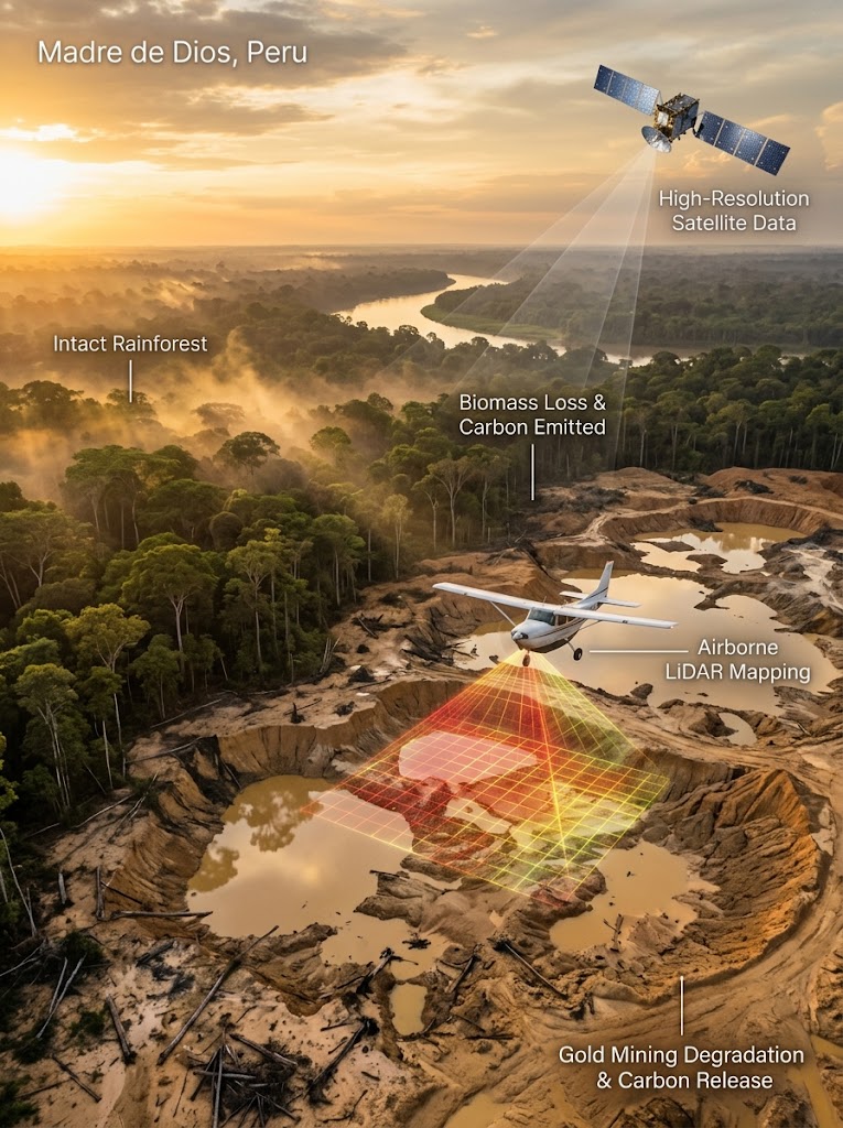
Carbon emissions from Peruvian gold mining ‘alarming’, experts say
Mongabay
Combining airborne LiDAR with satellite monitoring, researchers quantified the massive, uncounted carbon emissions driven by artisanal gold mining across Madre de Dios, Peru. The study demonstrates that soil and biomass destruction from small-scale mining releases localized carbon at rates comparable to major industrial deforestation drivers.
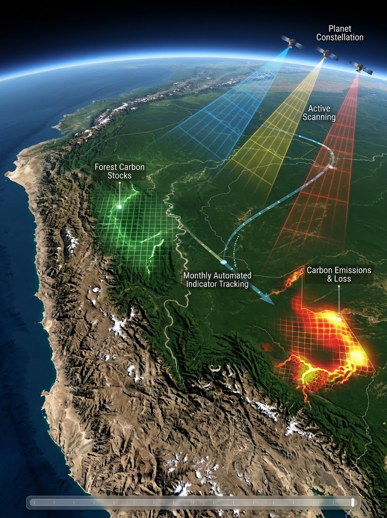
Developing the world’s first indicator of forest carbon stocks and emissions: it’s working!
Planet Pulse
Utilizing Planet’s high-frequency satellite constellation, researchers developed the first automated, near-real-time global indicator for forest carbon stocks and emissions. This breakthrough transforms static annual carbon estimates into dynamic monthly tracking, empowering global climate action with actionable satellite intelligence.
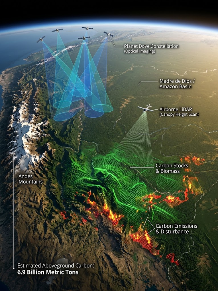
Monitoring forest carbon from space
Planet Insights
Combining satellite imagery with 3D canopy height modeling, this national-scale study mapped Peru’s 6.9 billion metric tons of aboveground forest carbon stock. The high-resolution system pinpoints quarterly carbon fluctuations and localized biomass losses, establishing a benchmark for national REDD+ climate reporting.
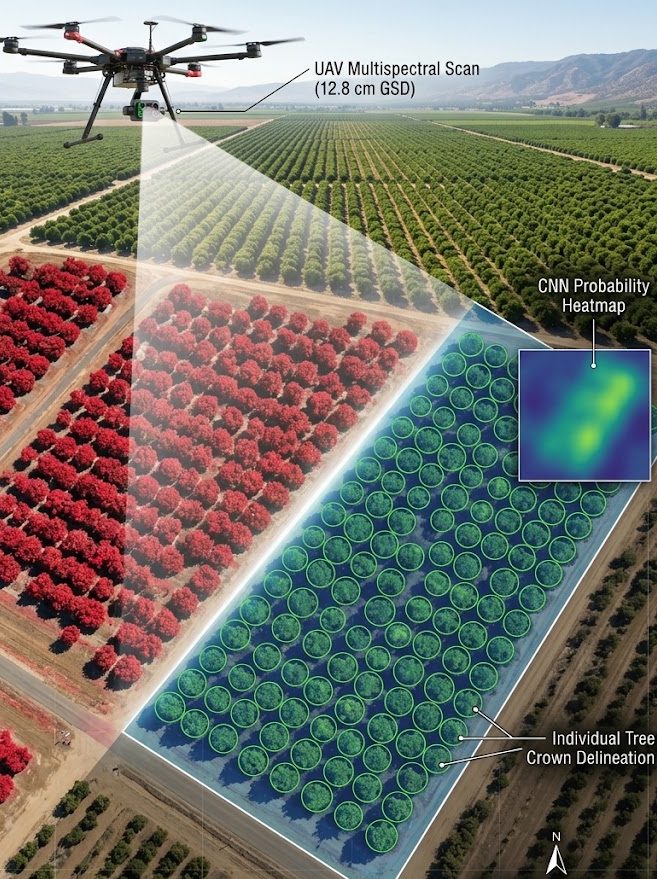
A sweet success
GeoConnexion
Researchers paired high-resolution UAV multispectral imagery with convolutional neural networks (CNN) to automate individual tree crown detection in California citrus orchards. Achieving a 96.2% identification accuracy in just 30 minutes, the deep-learning workflow provides growers with a fast, repeatable tool for precision crop management.